Mining, powered by technology.

We combine mining operations, drilling, and equipment hire with AI-powered satellite surveys to identify promising mineral deposits.

Point at the ground to digTap the ground to dig

Miningour core business, on licences we hold
3countries in operation: Tanzania, Sudan and Gambia
2025incorporated in Tanzania, BRELA registered
Mbeyaoperating base, with the crews and the machines

Najd Aurum Exploration System

Any coordinates in Tanzania. Go or no-go.

Our own AI reads satellite data together with geological knowledge and scores your ground against the known deposits of Tanzania. A geologist reviews every answer before it reaches you.

Our core business is the mine.

Hard-rock mining on licences we hold and operate ourselves: we sink the shaft, hoist the ore and handle it to the stockpile, with our own crews, our own winder and our own machines. Everything else on this site grew out of it.

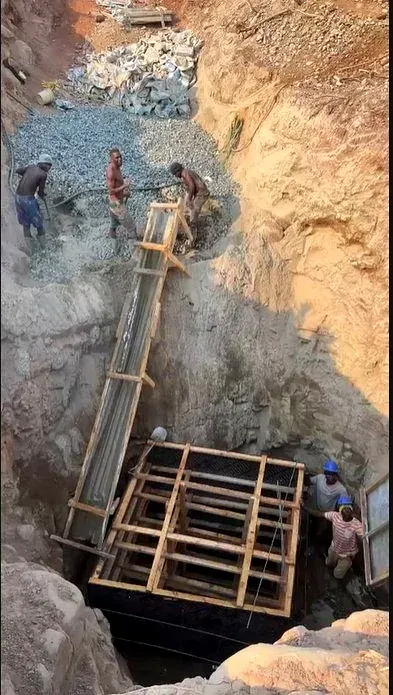
  1. The shaft goes down first; then the levels are driven out to reach the ore body.

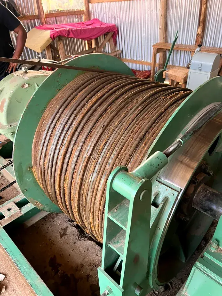
  2. The winder, the headframe and the rope: every load of ore comes up the shaft in the bucket.

  3. Ore broken in the stope is hoisted, tipped at the collar and stockpiled where it can be tracked.

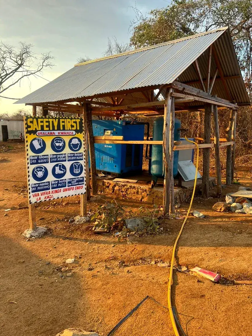
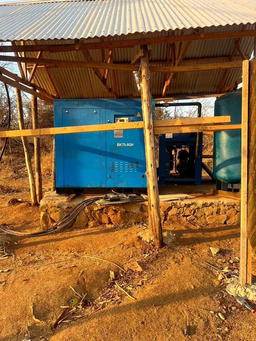
  4. Compressors, receivers and lines that keep air and water where the crews need them.

  5. How the ground will be restored is planned before it is opened, not after the work is finished.

Our way of mining, drawn live. Choose a step to light up its part.

Photographs from our own sites.

Not a stock library. Every image here was taken on a licence we hold, on a day we were working it.

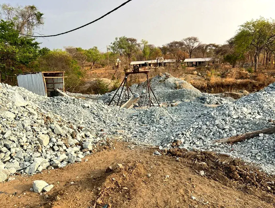
Stockpile and headgear
Stockpile and headgearMbeya, Tanzania
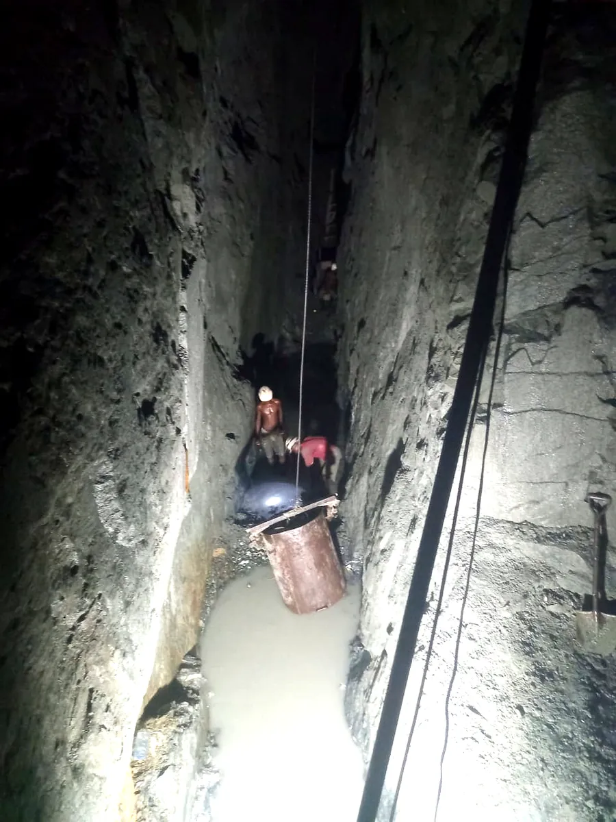
Hoisting from the stope
Hoisting from the stopeOre raised by bucket on the winder rope
Site safety
Site safetyBriefed before every shift
Winder house and hoist
Winder house and hoistThe drum that runs the shaft
Compressor and receiver
Compressor and receiverSite power and compressed air
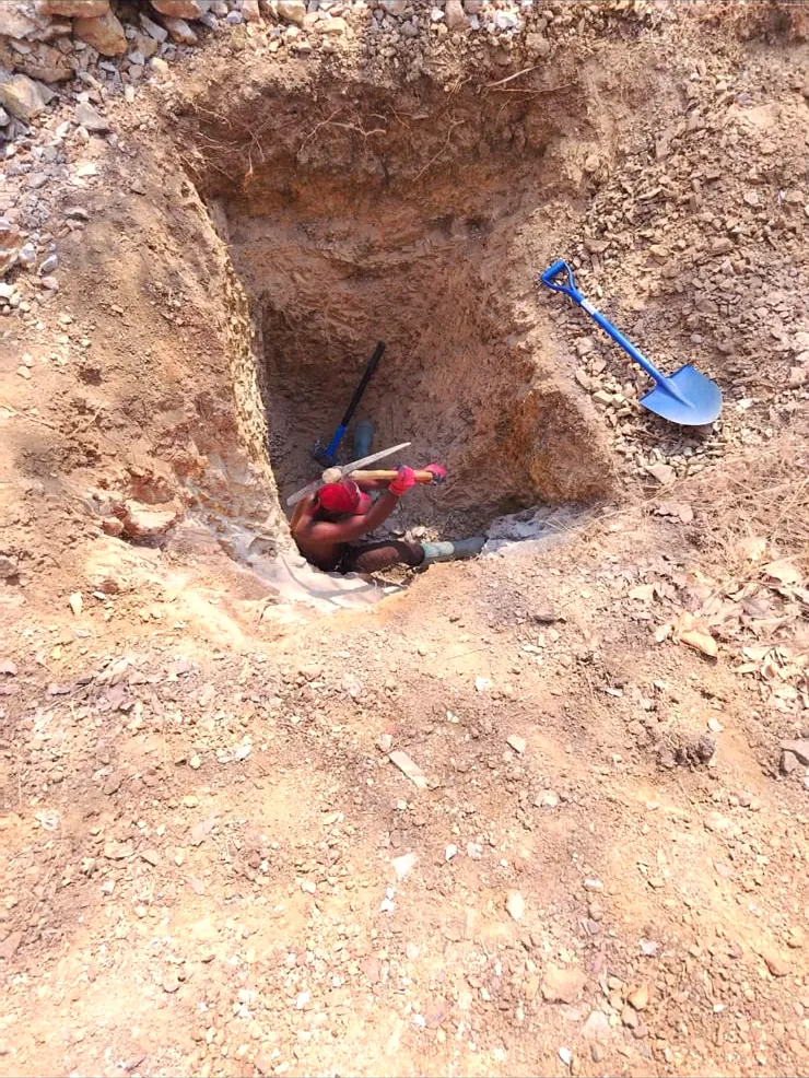
Costean cut by hand
Costean cut by handExposing the contact before any machine moves
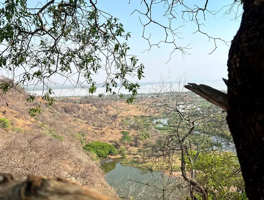
River valley ground
River valley groundSurveyed before clearance

Mining at the core. Three field services built on it.

Nothing here is a capability we bought in for a brochure. Every service was built to solve a problem on our own mine first, and is sold only because it worked there.

01 · Core business

Mining & resource development

Hard-rock extraction, shaft development and ore handling on licences we hold and operate ourselves. Our own sites are where every method we sell was proven first.

  • Shaft sinking and development
  • Ore handling and stockpile control
  • Site power, water and compressed air
  • Rehabilitation planned from day one
Request mining services
02 · Drilling

Drilling & field equipment rental

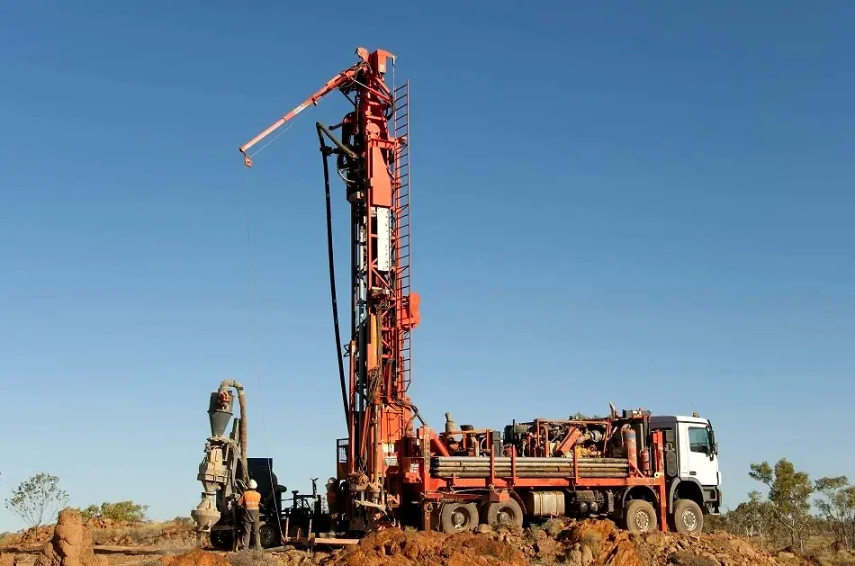
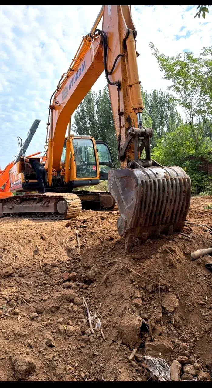
Reverse-circulation rigs and excavators, fully operated by our experienced field team and available for your project.

  • Reverse-circulation drilling, rig and crew
  • Tracked excavators, 20 t and 30 t class
  • Compressors, winders and hoists
  • By the day, the week or the month
Request a machine
03 · Geology

Geological consultancy

Mapping, sampling, structural interpretation and resource evaluation on your ground. Delivered as a report you can put in front of a bank, not a slide deck.

  • Field mapping and structural logging
  • Sampling programmes and QA/QC
  • Resource estimation and reporting
  • Independent second opinions
Request consultancy
04 · Satellite and AI

Satellite survey & AI targeting

Multispectral imagery and our own AI models narrow a licence to the ground worth walking. It tells you where to look first, and where not to bother.

  • Multispectral and radar acquisition
  • Alteration and structure mapping
  • Targets ranked by our own AI
  • Field verification, then a decision
Request a survey

Satellite survey & AI targeting

We do not drill on a hunch.

  1. 01Acquire

    Multispectral and radar imagery over the whole licence: every hectare, not a sample of it.

  2. 02Detect

    Our own machine-learning models map alteration and structure band by band, and score and rank every cell of the ground.

  3. 03Verify

    Crews walk the highest-ranked ground and sample it. Nothing is drilled on a screen alone.

  4. 04Model

    Samples and drill holes build the model of the ground, and the model decides where the equipment goes.

Request a survey
Scroll
5sensor bands read over every licence we survey
0.5 hathe smallest cell of ground we score and rank
100%of the licence covered, not a sample of it

Imagery © Esri, Maxar, Earthstar Geographics

Operations

Three countries. One standard.

The same crews, the same equipment discipline and the same reporting, wherever the licence is.

Tanzania · Sudan · GambiaActive
All three countries

Local time
 
Distance
 
Map centre
 
View width
 

Tell us about your ground.

Whether it is a licence you want surveyed, a machine you need on site next month, or a second opinion on a resource, start with a conversation, not a contract.

Registered office
Dar es Salaam, Tanzania
Operating base
Mbeya, Tanzania
Enquiries